Environmental Justice Index (EJI) County Map Series Prepared County Maps: Learn more about environmental injustice in your county with the EJI County Map Series. EJI County Maps offer summary information and visualizations that can provide insights into patterns and drivers of environmental injustice for the most burdened communities in each county. Each EJ County Map consists of three pages. Page 1 provides a high-level overview, including a overall EJI rank map as well as infographics highlighting key metrics. Page 2 provides charts and figures that visualize which EJI indicators are contributing the most to burden in a county. Page 3 features the EJI + Climate Burden rank, a supplement to the EJI, and combines features from Pages 1 and 2 to illustrate the cumulative impacts, including climate-related burdens, in that county.
Downloaded data from EPA's Environmental Justice Mapping and Screening Tool (EJScreen). As described by the Agency: "The tool offers EJ (2-factor) and supplemental (5-factor) indexes by combining environmental and socioeconomic indicators, using Census block groups as the basic geographic unit. The tool also provides a variety of powerful data and mapping capabilities that enable users to access environmental and demographic information across the entire country, at high spatial resolution, displayed in color-coded maps and standard data reports." [Quote from https://www.epa.gov/system/files/documents/2024-07/ejscreen-tech-doc-version-2-3.pdf]. (2024-12-03)
The National Historical Geographic Information System (NHGIS) provides easy access to summary tables and time series of population, housing, agriculture, and economic data, along with GIS-compatible mapping files, for years from 1790 through the present and for all levels of U.S. census geography, including states, counties, tracts, and blocks.
Provides geospatial data and applications from over 30 government departments, covering topics such as fire, water, public health, food and agriculture, and land use.
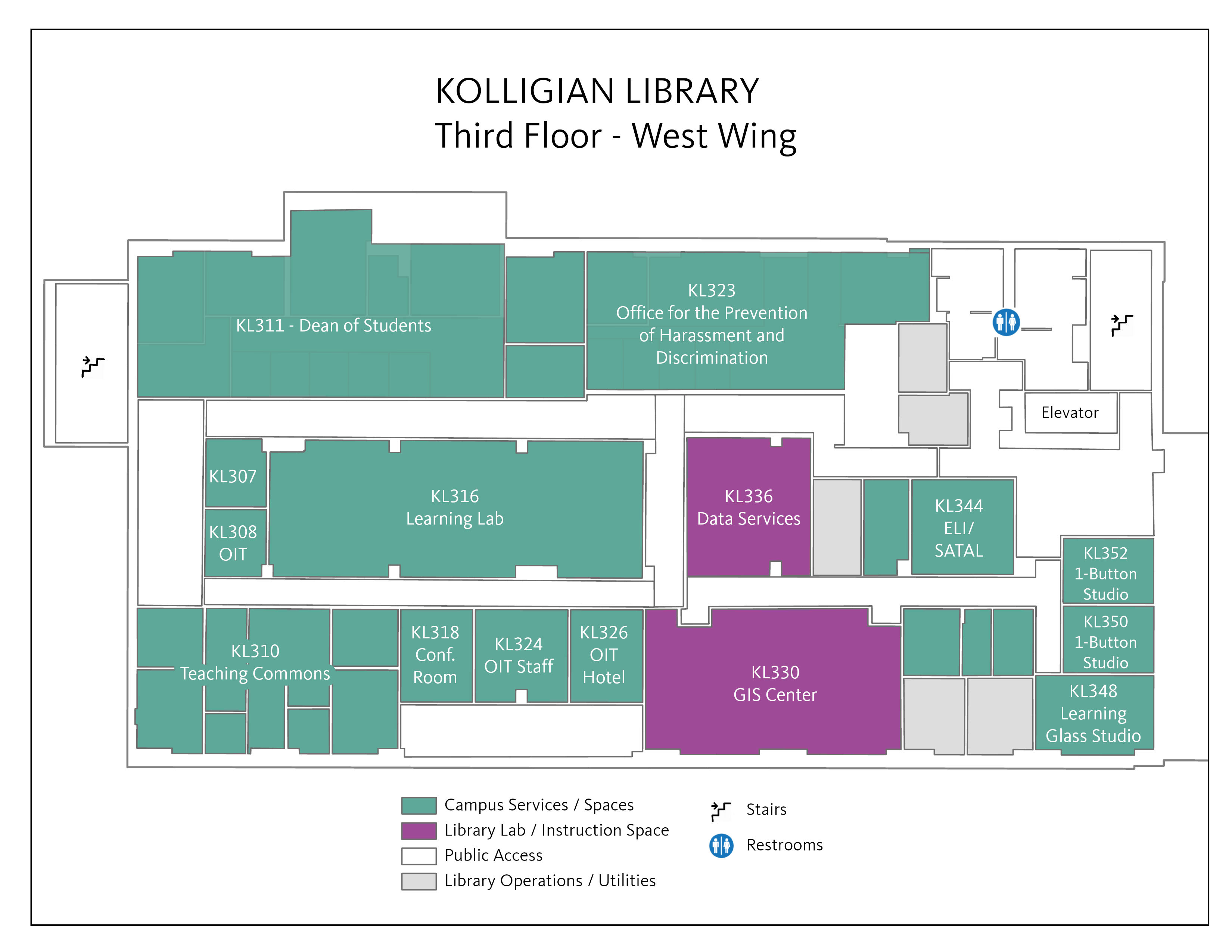
The GIS Center, provides consulting services to graduate students and faculty members to support grant applications, research and publications. Longer-term-project or grant-based spatial services provided by the GIS Center include spatial data management, cartography and web mapping.